
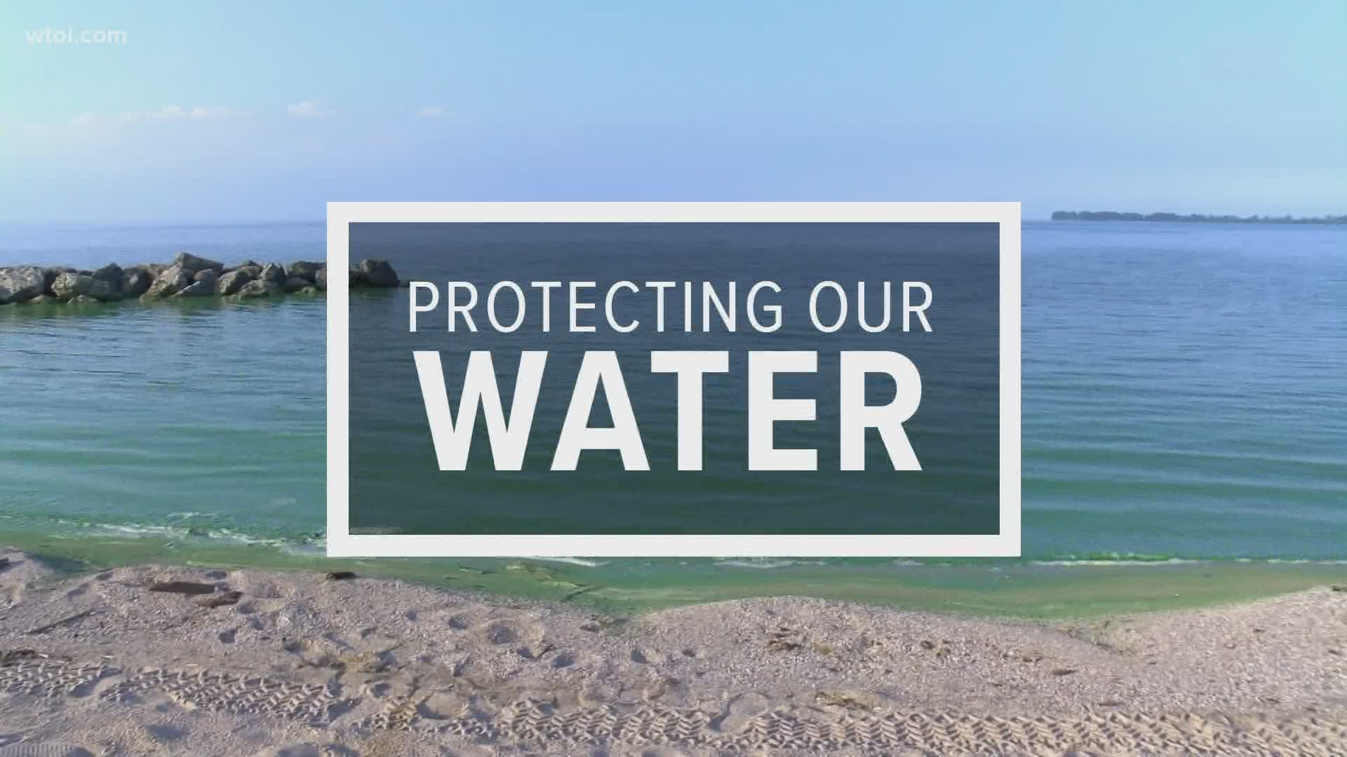
On Friday, the Western Lake Erie Report Card was released providing the public with the status of the lake.
The report card shows the Western Lake Erie watershed and lake basin received moderate health scores.
The Western Lake Erie basin scored 58%, a C+ grade, and the Western Lake Erie watershed scored 49%, a C grade.
Western Lake Erie has suffered from chronic water quality issues stemming from increasingly intensive agricultural land use, large-scale industry, discharges from wastewater plants and surface water runoff.
Experts say evaluating Western Lake Erie in a report card brings focus to the overall health of the basin and watershed and how they are interconnected.
"The scores give us better insights into the current health condition and further pinpoint areas that need remediation, information that is valuable to decision makers who are working to improve water quality," said Vice President of Science Application Dr. Bill Dennison.
About one-third of the total population of the Great Lakes Basin lives within the Lake Erie Watershed. The lake provides drinking water for 11 million residents and is home to one of the largest freshwater commercial and recreational fisheries in the world.
The lake and surrounding areas provide many recreational opportunities, such as camping, kayaking, boating, hiking, birding, and fishing, and are vital to the economy of the region.
The lake is endangered as ecosystem health is driven by harmful algal blooms, a significant problem with plagues Western Lake Erie. Conditions are highly variable from year to year, leading to corresponding variability in bloom severity.
Experts say 2018 was an unusual year, with an early bloom onset and strong westerly winds that resulted in the bloom being pushed offshore into the eastern islands (Bass Islands) region.
Factors that affect the location and severity of blooms include rainfall, water temperature, wind, and nutrient inputs.
Warm, wet years produce larger blooms as precipitation washes nutrients into the lake. Early warming can cause blooms earlier in the year, which may result in smaller blooms that last longer. Windy conditions can mix lake waters and move algae around, reducing the overall severity of blooms by diffusing the effects.
This report card was the first effort that combines environmental data to show the health status of both the lake and watershed in one integrated report.
The analysis of Western Lake Erie watershed health includes ten indicators in three main categories: water quality, toxics, and biology.
Water quality had a poor score (35%), toxics had a good score (61%), and biology had a moderate score (51%).
The watershed was divided into 13 regions, covering portions of Indiana, Michigan, Ohio, and Ontario, Canada. The watershed regions were:
- Upper Thames
- Lower Thames
- Essex
- Detroit
- Raisin/Huron
- Tiffin
- St. Joseph
- St. Mary's
- Upper Maumee
- Auglaize
- Lower Maumee
- Cedar/Portage
- Sandusky
All regions had poor or moderate D and C grades.
The analysis of Western Lake Erie lake basin health includes 11 indicators in three categories, water quality, algal blooms, and fish. The water quality score was poor (28%), algal blooms score was good (78%), and the fish score was good (67%).
The lake basin was divided into six regions:
- Northwest
- Southwest
- Maumee
- Northeast
- Eastern Islands
- Sandusky Bay
The Northwest region had a good score of B, while other regions received moderate C grades.
Scientists from the University of Toledo, Heidelberg University and University of Maryland gave the ecosystem report on Ohio rivers estuaries and Western Lake Erie.
Mayor Wade Kapszukiewicz, Lucas County Commissioner Tina Skeldon Wozniak were also in attendance to present the report card.
The University of Maryland Center for Environmental Science’s Integration and Application Network produced the report card with funding from the City of Toledo, Ohio; Lucas County, Ohio; and the City of Oregon, Ohio, through the Lake Erie Foundation.
In the future, the report card will be conducted by scientists at University of Toledo, with consultation from UMCES. Future iterations of the report card will allow for refinement and inclusion of additional indicators and will show trends in the scores over time.
This will provide a foundation for a more holistic approach to assessing Western Lake Erie and accountability in lake and watershed management.
Experts say Western Lake Erie is a large, complex watershed. Environmental regulations, management, and restoration have resulted in some signs of success, particularly in the resurgence of important fish species, but progress in nutrient reductions is lagging.
Future algal blooms can be diminished by significantly lessening nutrient inputs from commercial fertilizers and animal manure.
The report card reflects the collective effort of dozens of stakeholders in the Western Lake Erie watershed.
Visit here for more information on the Western Lake Erie Report Card.