How does advection fog form? Learn about the science behind it
Advection fog has rolled in for Wednesday and Thursday. Did you know there are different types of fog?

Editor's note: The video attached at the top of this story is originally from WWL. It explains different types of fog.
It has been a busy few weeks in the weather world – from multiple winter weather systems bringing snow, ice, freezing rain, and lastly soaking rain showers.
Northwest Ohio and southeast Michigan have had just about every form of precipitation. But one form of precipitation we often forget to mention is fog.
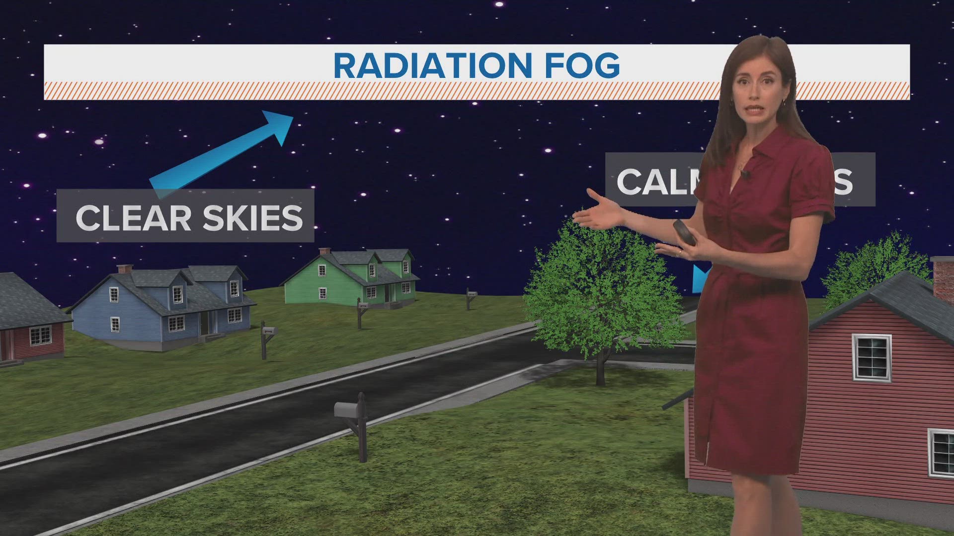
Although fog generally looks the same there are many different types and different ways it can form. To be exact, there are 8 different types of fog that form worldwide each day.
How does advection fog form?


The type of fog northwest Ohio and southeast Michigan are experiencing Wednesday is in fact Advection Fog, but what exactly is it and how does it form?
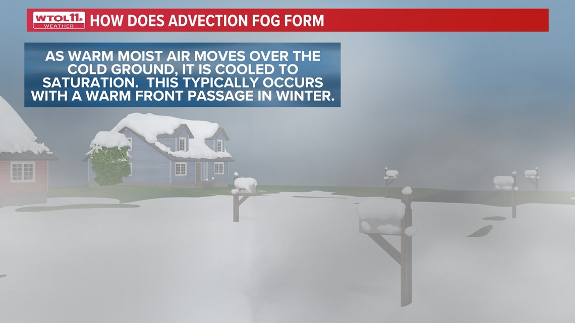
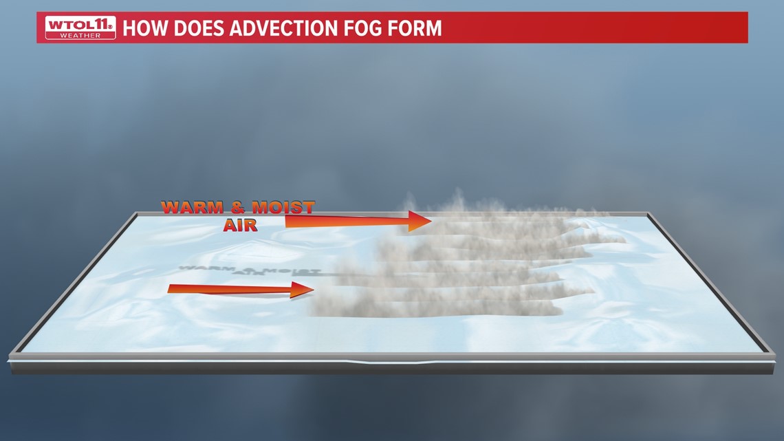
This type of fog forms from surface contact with horizontal wind conditions. As warm air and moist air blows in from the south, if there is snow or cool moisture on the ground, it will come in contact with the warm, moist winds.
This contact between the air and ground will cause the air blowing in to become cool. The dew point will then rise and create high humidity that will form fog.
Typically, fog will only last for overnight and into the morning hours. With advection fog, it can last for multiple days if air temperatures along with surfaces temperatures stay around the same range. It can almost seem like several cloudy days in a row.


The WTOL 11 Weather Team expects these foggy conditions to stick around at least through Thursday. Advection fog can vary from time to time, as it can be denser than usual at times, becoming very dangerous for drivers.
As always you can follow online, and through the WTOL 11 Weather Appfor updates on Wednesday & Thursday's ALERT DAYS.
MORE ON WTOL:


