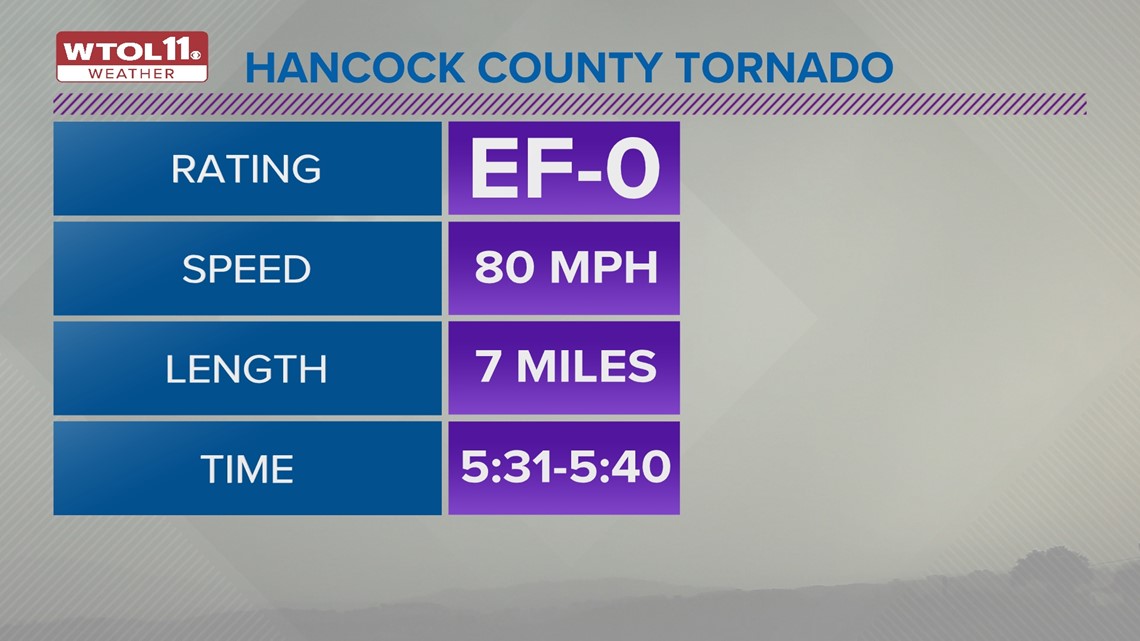
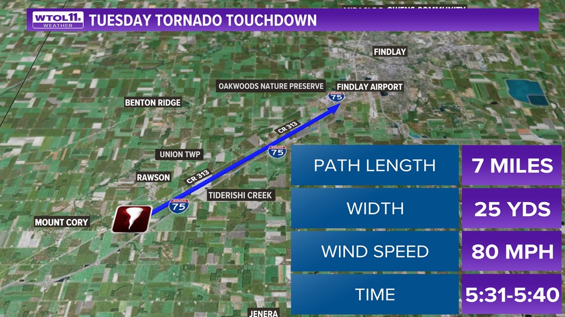
HANCOCK COUNTY, Ohio — The National Weather Service confirmed a tornado touched down in Hancock County during Tuesday night's storms.
Sporadic storm damage littered the ground around the outskirts of the village of Rawson.
Just after 5:30 p.m. Tuesday evening, a confirmed EF-0 tornado ripped roofs from barns and snapped large trees in two.
An EF-0 tornado falls between wind speeds of 65-85 mph. It is characterized as weak.


Freddie Zeigler is a National Weather Service surveyor who was in Seneca County, backtracking from the first tornado warning location to the last near Cleveland.
He confirmed a tornado in fact touched down.
Zeigler said it's difficult to confirm tornadoes this time of year, as farm fields are not grown yet and the low profile makes it more difficult to see the signs of a funnel cloud.
"If it's wide and spread out in one direction, that's probably straight-line winds. But if it's narrow, if there's beams being broken off or two by fours broken off and driven into the ground like we saw in Findlay, then there's a pretty good chance that that was a tornado," Zeigler said.


Findlay was right along the tornado path, but the storm lessened in intensity just as it neared I-75.
Rob Martin, the Findlay Service-Safety Director said the only damage they saw was a handful of large, downed trees.
"As it hit the city of Findlay we saw some rotation but it wasn't significant enough, but the weather was coming so we took shelter. We're very fortunate in the city of Findlay, all things considered," Martin said.


Martin said that Findlay basically dodged a bit of a bullet last night because they were expecting the severe weather to be farther south.
"When this was all of a sudden in Putnam County and headed towards us, the alerts happened and everything happened pretty quickly," Martin said. "Again, we're very, very fortunate how quickly this storm came upon us that we didn't have worse damage."

