TOLEDO, Ohio — The WTOL 11 First Alert Weather team is watching our next winter storm that will dump the biggest snowfall of the season.
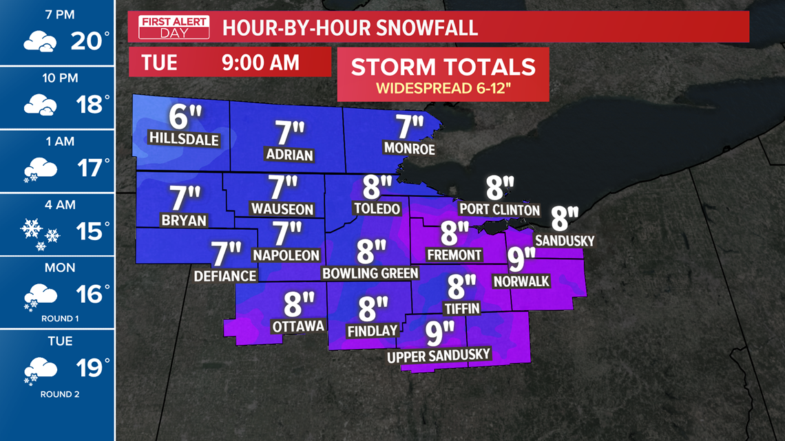
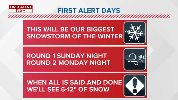
Storm totals between both rounds of snow will add up to 6-12 inches, making this our most significant snowfall of the season.
Chilly weather will continue through midweek with high temperatures below 20 degrees and low temperatures in the single-digits.
Here are three things to know before the snow to get you prepared now for what's coming our way:
1. This will be our biggest snowstorm of the season, but it won’t all come overnight.


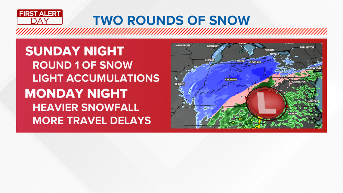
As a coast-to-coast storm system sweeps into the Ohio Valley, steady snow will envelop the region. This snow will come in two waves. The first wave will arrive late Sunday after midnight and continue through lunchtime on Monday.
You’ll wake up to a couple of inches of snow on the ground Monday morning, leading to slick travel conditions. The heaviest snow will fall southeast of Toledo, and areas such as Crawford and Wyandot counties will wake up to 2-4” on the ground. And that’s just round one.
2. We’ll get a brief break from the snow Monday afternoon.
The first part of the winter storm will taper off by Monday afternoon, giving way to cloudy skies and drying conditions. This brief break will be short-lived, but a couple of hours without snowfall will allow crews to clear the roads before more snow arrives.
3. The heaviest snow will fall Monday night


Round Two of this winter storm will arrive Monday evening around 8 p.m. Similarly, the steadiest snow will fall southeast of Toledo, but the entire viewing area will receive substantial snowfall.
This second wave of snow will deliver heavier snowfall than the first. An additional 3-5 inches is expected in Toledo by Tuesday morning, with another 4-6 inches piling on the south.
Storm totals by Tuesday morning will exceed half a foot, and could add up to a foot of snow!
Download the First Alert Weather App right now for the latest on this potent winter storm and tune in to WTOL 11 for up-to-date snowfall forecasts.


