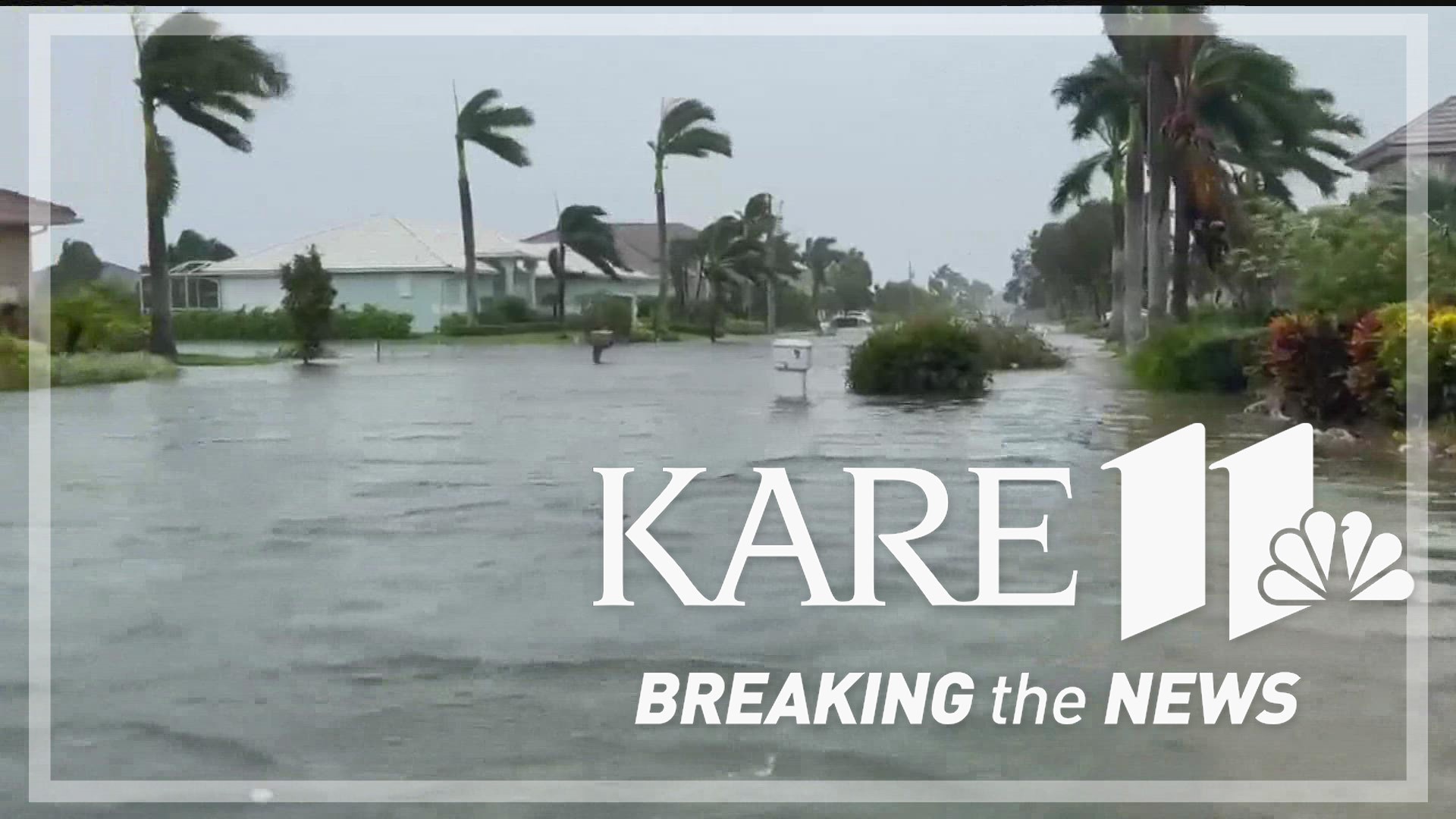
MINNEAPOLIS — If it seems like the devastation caused by Hurricane Ian came on quickly, you're right.
In just two days, the storm's maximum sustained wind speed more than doubled, from 75 miles per hour on Monday morning, to 155 miles per hour just before landfall on Wednesday morning.
"It doesn't really get much worse than this, to have a strengthening, possibly rapidly intensifying hurricane landfall," said Brent Hewett, a meteorologist with the National Weather Service Twin Cities.
Though devastating, Hewett says the changes weren't entirely surprising based on the conditions in the Gulf of Mexico that the hurricane encountered during those 48 hours. Moist air and low wind shear both contribute to rapid intensification, and unseasonably warm water provided even more fuel than normal.
Hewett says a very quiet hurricane season prior to hurricane Ian is partially to blame.
"When you don't have a lot of tropical systems in a season, the water is allowed to warm kind of continuously without out anything mixing it up," Hewett said.
And if you add those seasonal conditions to years of warming brought on by climate change, experts say this storm had even more fuel.
"The storms that we are seeing now are passing over water that is much warmer than it was 20-30 years ago," said John Abraham, a thermal scientist and professor of mechanical engineering at the University of St Thomas. "The water in the gulf is about 3-4 Celsius -- or about 6 Fahrenheit -- hotter than it should be."
Abraham studies thermal science at the University of St Thomas, and says the added severity that rising temperature causes plays out in a few ways.
"What climate change does is it makes storms more powerful, and it makes them rain harder and it makes their diameter bigger," Abraham said. "They destroy a larger area of land when they hit, but they also are more destructive to the areas that they hit."
But he says our ability to track, collect data and understand these severe storms is also improving our chances of withstanding them.
"Scientists are getting better, every year, at projecting when and where these things are going to hit," Abraham said. "That really matters because there are tremendous sociological and economic consequences. It's hard for people to evacuate their homes and evacuating the entire state of Florida would be almost unmanageable."
And that drive for more scientific understanding and cooperation stretches all the way up to Minnesota.
"We're even helping here in Minnesota to the forecasting, by extra balloon launches," said Pete Boulay, an assistant state climatologist. "So knowing the upper air column, all of that feeds into the data, feeds into the forecasts."
Boulay says it's just a small way we can help contribute to the cause, especially at a time when there's not a lot on the horizon here at home.
"This hurricane locks our weather pattern into whatever it currently is," Boulay said. "Because as a strong hurricane goes up from Florida and maybe up the east coast, it pretty much stalls out the weather pattern, so our gorgeous weather... basically what you see is what you get for the next few days as long as there is something blocking the weather pattern."
Watch more Breaking The News:
Watch all of the latest stories from Breaking The News in our YouTube playlist:

