TOLEDO, Ohio —
3 Things To Know (Sunday Update)
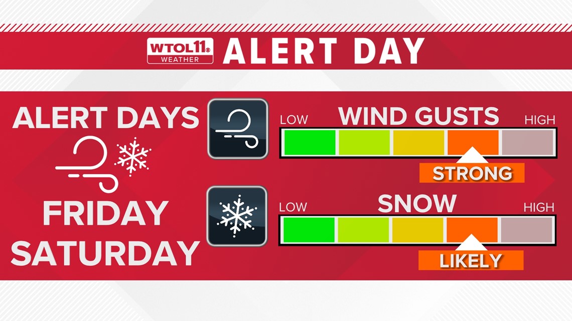
After a historically mild and dry December, the WTOL 11 weather team is carefully watching a major pattern shift that will bring wintry weather and cold temperatures into mid-January. In anticipation of our first significant winter storm of the season, Alert Days have been issued for next Friday and Saturday. Meteorologist John Burchfield breaks down three things you need to know ahead of the storm.
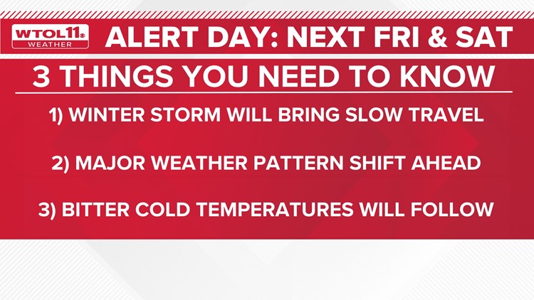
1) A winter storm will bring slow travel
The WTOL 11 weather team was the first to give you advanced notice of impactful weather late next week. Based on consistent computer model trends showing a widespread winter weather system, Alert Days were issued due to the potential travel impacts of this storm.


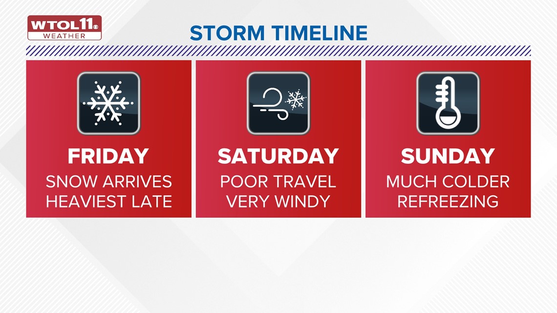
While the exact storm track and timing remain largely uncertain, the overall impact could be high. As a powerful low-pressure system rolls in from the southwest, snow chances will increase Friday, especially during the afternoon and evening.
Accumulating snow is likely Friday night into Saturday, coating roadways and slowing travel. In addition to sticking snow, gusty winds will develop as the storm arrives, possibly contributing to blowing and drifting. While the specific details will be resolved this week, the bigger picture of a high-impact storm system is clear. Plan ahead and adjust weekend plans accordingly. Check the WTOL 11 weather app for the latest storm updates.
2) A major weather pattern shift lies ahead
Following the mildest December on record in Toledo history, January will take a sharp 180 degree turn toward colder and more active weather. A stronger jet stream will usher in cold, Canadian air, dosing out sufficiently chilly temperatures for wintry precipitation.


This jet stream pattern will churn out a parade of storm systems throughout the middle of January. While not every single storm will be a direct hit, the increased frequency of active weather will raise the odds of at least one or two "big ones". Late Friday into Saturday caught the attention of the WTOL 11 weather team as the first significant storm system of the winter season.
3) Bitter cold temperatures will follow
With a wintry one-two punch, Mother Nature will dose out the coldest temperatures of the season after the weekend storm system. A frigid airmass will sweep in behind the storm system, dropping overnight lows to the teens. Furthermore, the fresh blanket of snow will enable overnight low temperatures to plummet.


On nights after a heavy snowfall, heat from the Sun reflects off the snow cover back into the atmosphere. This could send temperatures plunging as low as 10 degrees late next weekend into the start of the workweek. This colder pattern will stick around through mid-January, delivering colder than normal conditions. You'll see much chillier temperatures toward the end of the 10-day forecast. Hopes of milder weather may have to wait until the end of the month.
With this storm system still nearly a week away, the WTOL 11 weather team will keep you updated on-air and online as the storm track and impacts become more certain. This article will be updated throughout the week with the latest information on three things you need to know.
RELATED: Season's first big snow expected this week as multiple storm systems move through | WTOL 11 Weather
MORE FROM WTOL 11:


