
TOLEDO, Ohio — We're in the middle of severe weather season and it can strike at any time.
That's why emergency management crews and the National Weather Service want you to make sure you are prepared.
"If they hear of a severe thunderstorm warning, they need to move inside a building or house on the lowest floor in an interior room and stay away from windows," said Rick Garuckas, a meteorologist with the NWS Cleveland office.
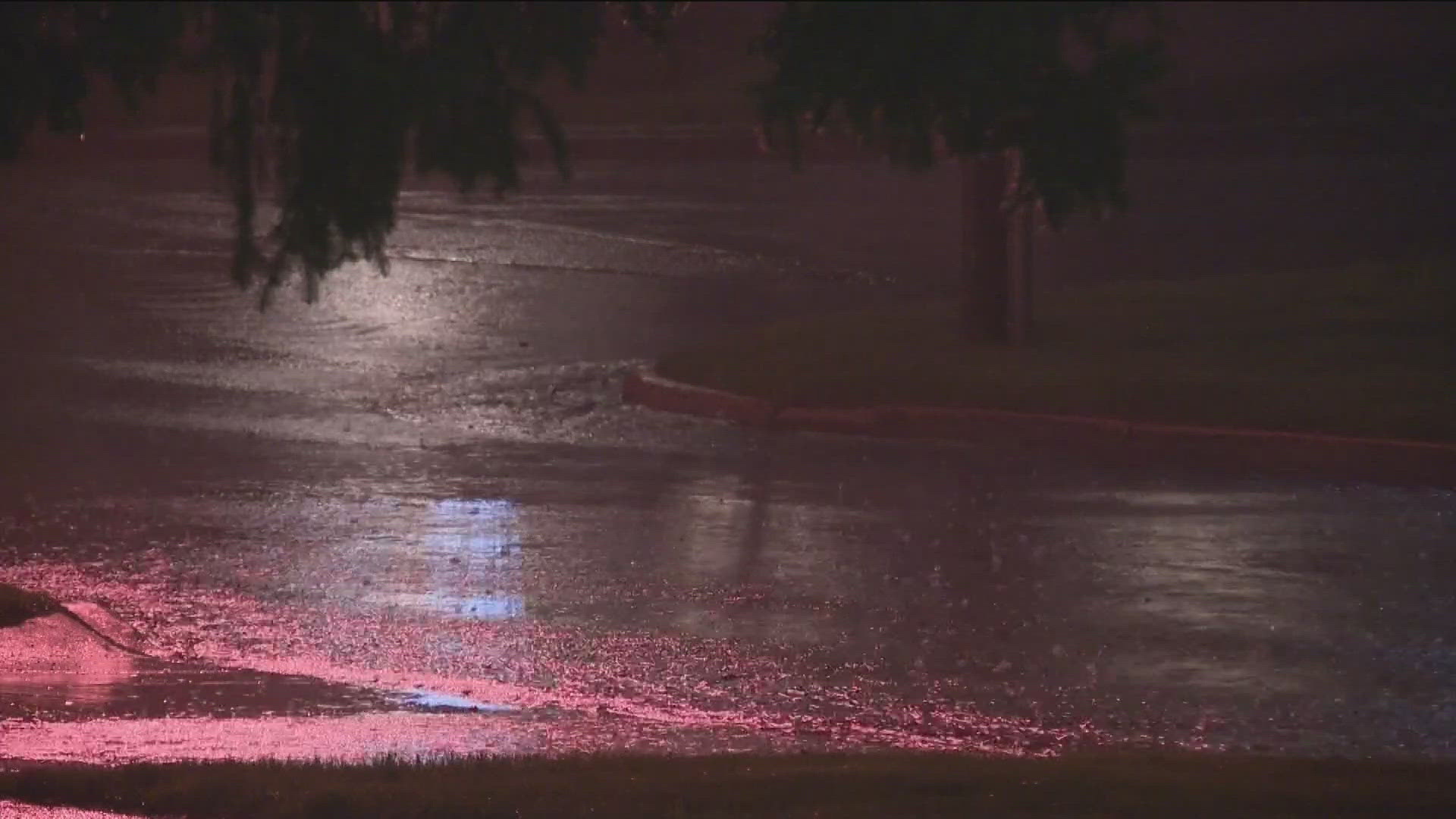
That advice might sound like common sense, but Garuckas says there are about 25 million lightning strikes in the U.S. every year. The strikes can be deadly, too, especially on golf courses and open fields outdoors.
Northwest Ohio is no stranger to tornadoes, either. One wreaked havoc in Point Place in June of 2023 and two were confirmed from Tuesday evening, one in Paulding County and one in Putnam County.
SKYWARN spotter training offers in-person and virtual classes and explains what to look for in storms and what different levels of risk they have. For more information on the classes and a schedule, click here.
"That's a big part of how a storm forms, why it's dangerous and what the difference is between a regular old thunderstorm and a severe weather storm and what are the chances that one could turn into the other," said John Spahr, the Seneca County Emergency Management Agency administrator.
Spah says being able to spot the signs of severe weather can save lives.
Jeff Klein, director of the Wood County Emergency Management Agency, agrees.
"I think one of the big things when it comes to severe weather is awareness and knowing what's going on and what's going on around you," Klein said. "There are a lot of good ways to get that information. I think one of the best ways is the WTOL 11 Weather app."