TOLEDO, Ohio — Editor's note: The above video originally aired Saturday, June 17.
Last Thursday night's string of tornadoes was one of the largest tornado outbreaks in decades.
Most people in the region will remember for years where they were the night a line of strong thunderstorms swept through, spawning tornadoes beginning in Monroe County and ending 60 miles away in Huron County.
While it seemed clear during the storms Thursday night that multiple tornadoes were active in several areas over the course of a couple of hours, the details of exactly where and when the tornadoes developed have come to light in the days after the storm, thanks to the work of the National Weather Service.
Here are the nine confirmed tornadoes that struck the region:
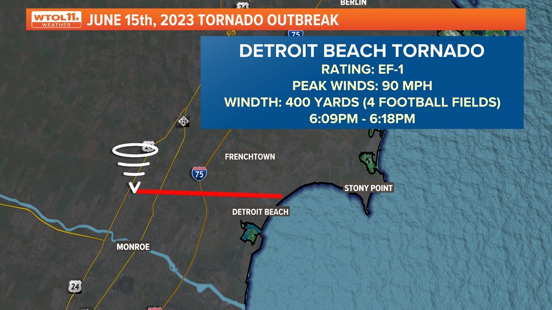
Tornado No. 1: Detroit Beach, Monroe County, Mich.
The storm system spawned its first tornado of the evening in Monroe County at 6:09 p.m. at Detroit Beach where it was as wide as four football fields.
From here, the storm would head south into the city of Toledo.


Tornado No. 2 Point Place
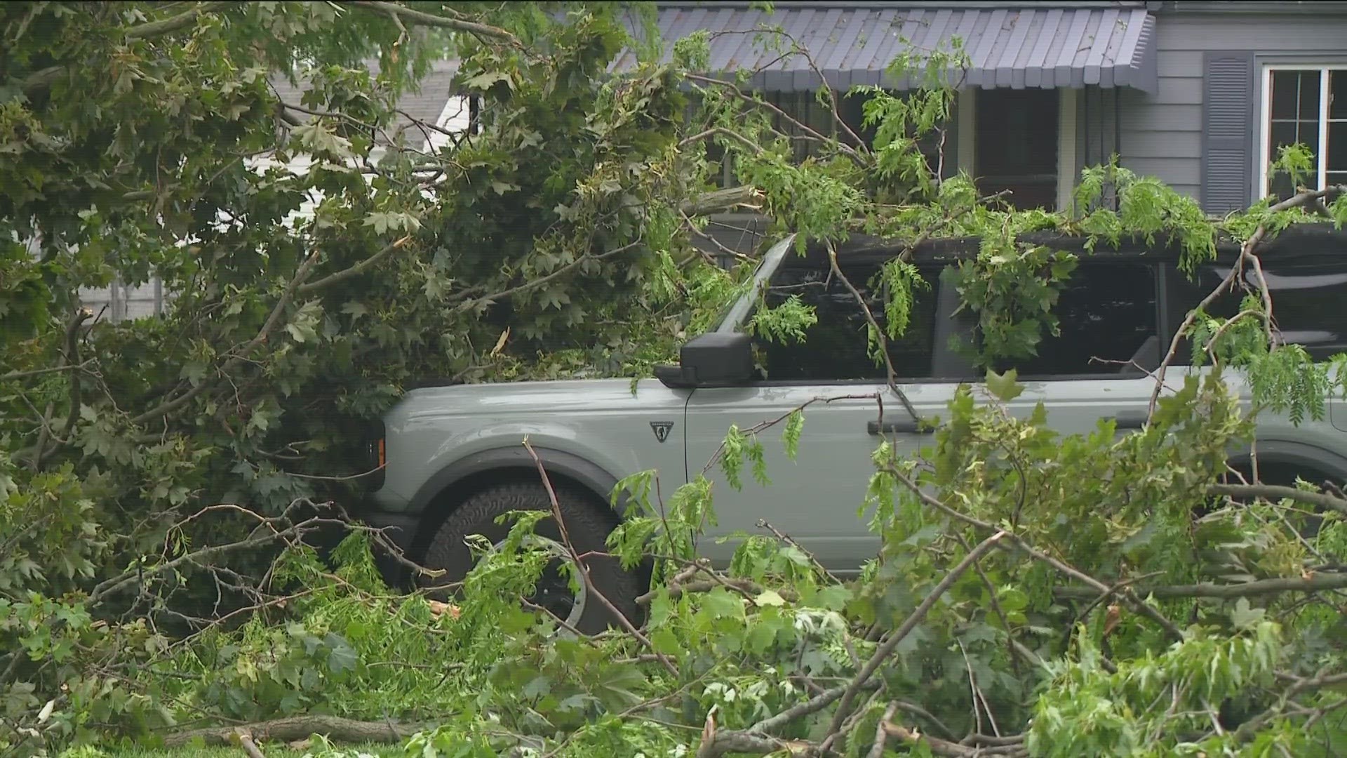
As the tornado cut through the north Toledo neighborhood of Point Place, it did some of its most dramatic damage, ripping the roof off a ProMedica laboratory building, uprooting trees onto homes and causing other damage to buildings throughout the area during the four minutes it was on the ground.


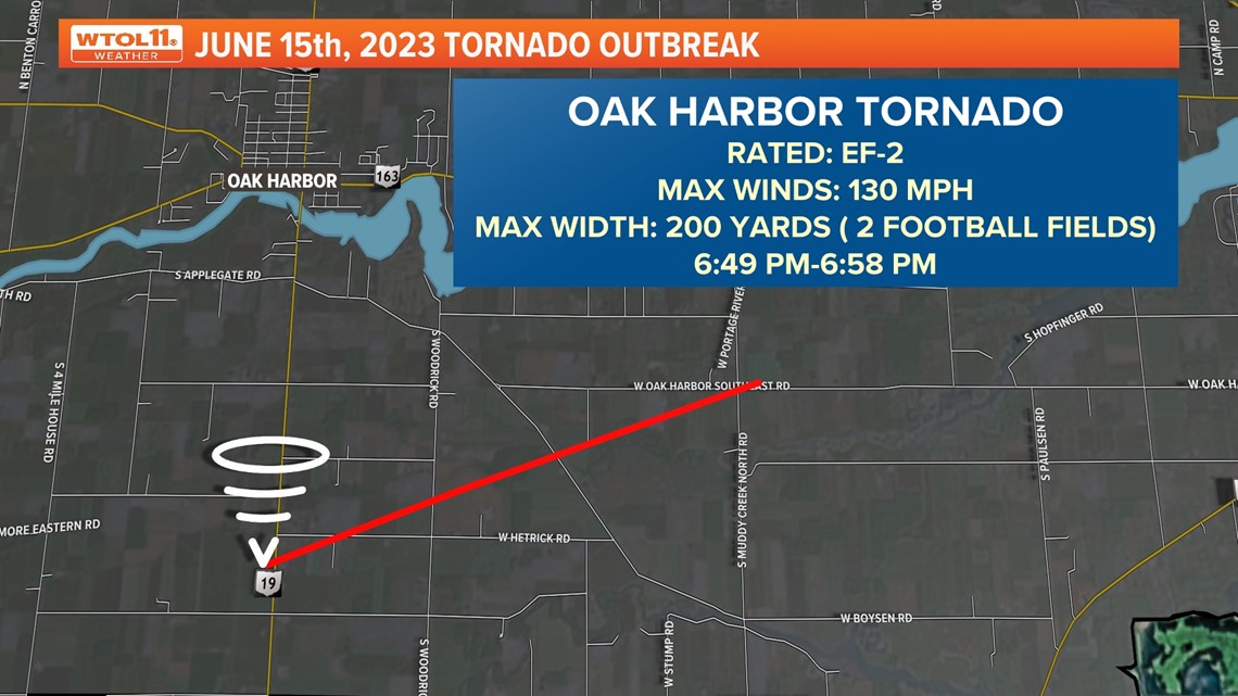
Tornado No. 3: Oak Harbor
The Oak Harbor tornado was one of the strongest of the evening with sustained winds of 130 mph.


Tornado No. 4: Rice Township, Sandusky County
The Rice Township tornado started at 6:57 p.m., which is one minute before the Oak Harbor tornado lifted. This means both tornadoes, only a few miles apart, were on the ground at the same time.


Tornado No. 5: Vickery
Although the Rice Township tornado only lasted about a minute, the chance for more tornadoes to spawn was very much possible. About 20 minutes later at 7:18 p.m., an EF-0 tornado dropped in Vickery. Thankfully, it only lasted about a minute, though it damaged a barn while on the ground.


Tornado No. 6: Bellevue
After the Vickery tornado ended, the storm relented for just a bit. But 20 minutes later, another tornado developed. At 7:40 p.m., the next tornado struck in Bellevue, Sandusky County. This was third tornado in Sandusky County in less than an hour.


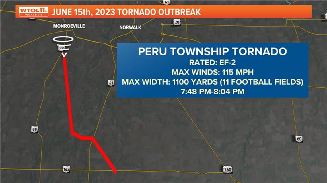
Tornado No. 7: Peru Township, Huron County
As the evening went on, this storm was not weakening and was capable of producing another strong tornado. By 7:42 p.m., the Bellevue tornado had diminished but the National Weather Service Office in Cleveland confirmed a third EF-2 Tornado near Peru Township with winds of 115 mph. This was the first tornado ever recorded in Huron County.


Tornado No. 8: North Fairfield, Huron County
Just 11 minutes after the Peru Township tornado was confirmed, an EF-1 tornado developed in North Fairfield. At this point, there were two dangerous tornadoes on the ground in Huron County.
At 8:04 the third and final EF-2 Tornado diminished in Huron County. North Fairfield was the longest-lasting tornado of the nine, spawning at 7:59 and not diminishing until 8:17 p.m., and traveling almost 10 miles.


Tornado No. 9: Greenwich, Huron County
The last tornado of the evening touched down a minute later at 8:18 as an EF-1 tornado in Greenwich, as it lasted six minutes with estimated wind gusts of 105 mph.


By the time the storm moved out of the area, a whopping nine tornadoes had torn a path of destruction across four counties.


MORE FROM WTOL 11 WEATHER:

