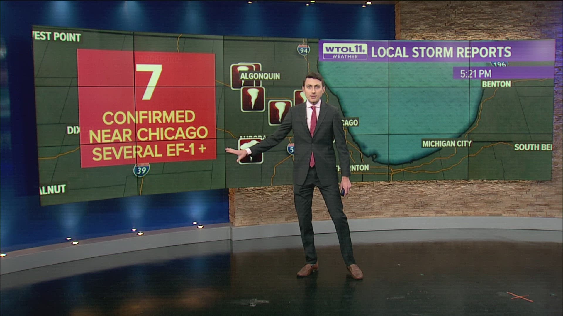
TOLEDO, Ohio — UPDATE: There were 12 preliminary tornado reports from Wednesday night's storms. An EF-1 tornado was confirmed in Branch County, Michigan, just over an hour west of Lenawee County.
Seven tornadoes were confirmed in the Chicago metro, a couple of which reached EF-1 levels.
The original story is below:
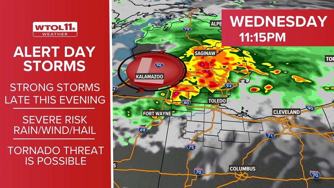
The WTOL 11 Weather Team issued an ALERT DAY for the risk of strong or severe storms that will be possible Wednesday evening.
Tornado watches have been issued for Fulton and Williams counties in northwest Ohio and Lenawee and Monroe counties in southeast Michigan until 3 a.m.
Although the severe weather risk will likely be winding down before 3 a.m., the next few hours will bring an intensification of storm activity to the region. The greatest storm risk is still northwest of Toledo.
The timing of the greatest severe risk will be 6 p.m. to midnight. The chance of thunderstorms that may produce gusty winds, large hail and a risk of tornadoes will all be possible.
Any storms will have the potential to bring torrential downpours. Where heavier downpours persist, 1-2 inches of rain or more will be possible.


Want more from WTOL 11?
➡️ Download the WTOL 11 news app for Apple here or get it in the Google store here.
➡️ Get a fresh start to your morning and wrap up your day with the latest news and your WTOL 11 Weather forecast delivered right to your inbox!
WTOL 11's Your Morning Blast and Your Evening Blast deliver stories from northwest Ohio, southeast Michigan and beyond to keep you informed.
Click here to get on the list!
Subscribe to WTOL 11 - https://bit.ly/32odAkM
Connect with us on social media:
Go 419 Facebook - https://www.facebook.com/Go419/
Facebook - https://www.facebook.com/wtol11/
Twitter - https://twitter.com/WTOL11Toledo/
Instagram - https://www.instagram.com/wtol11toledo/

