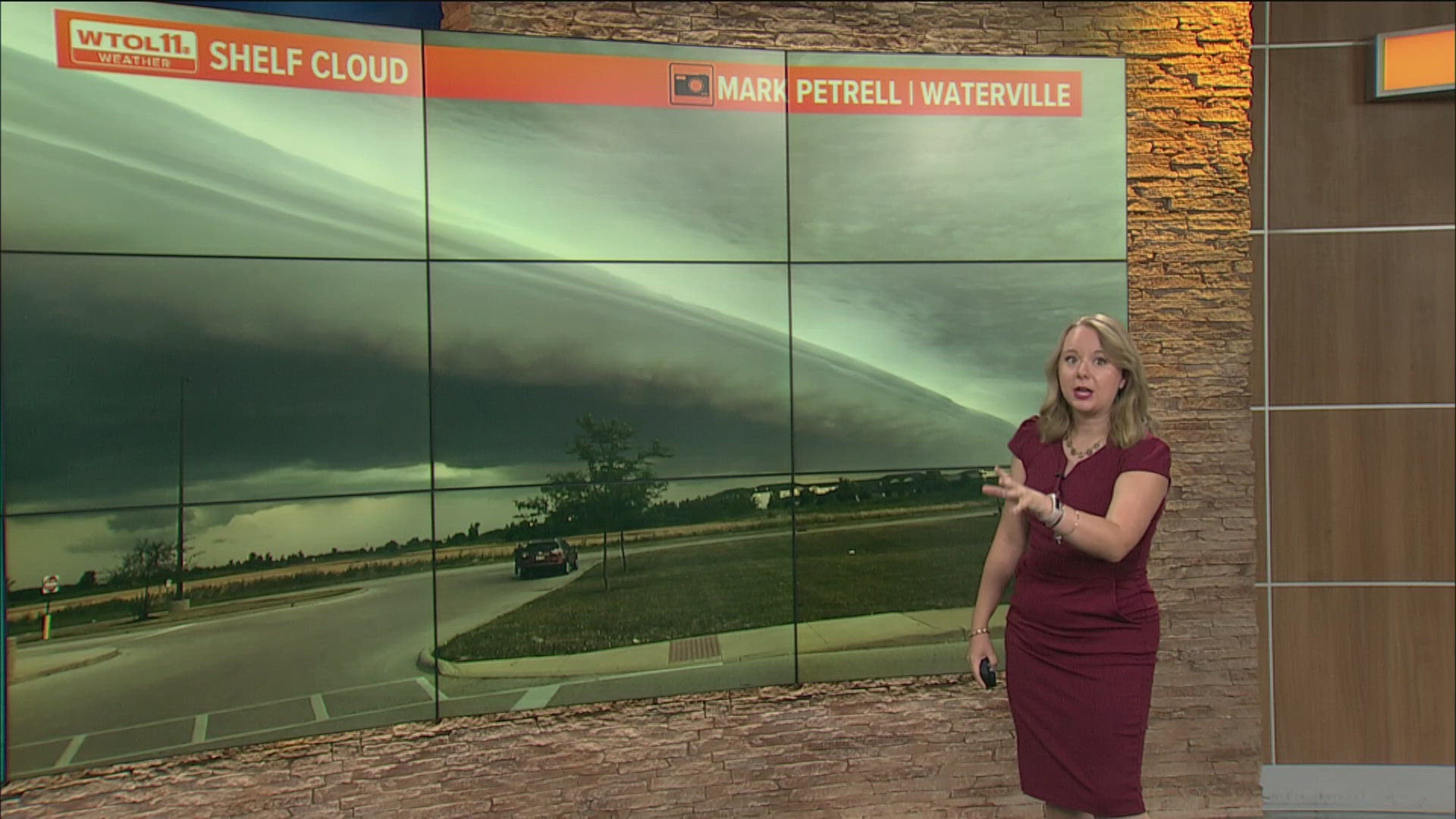
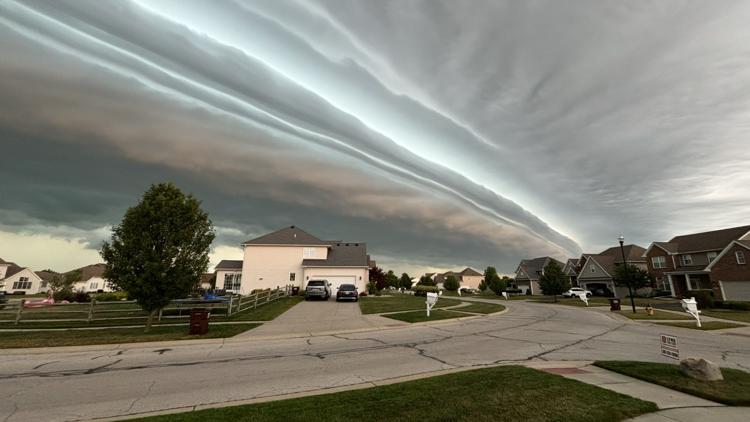
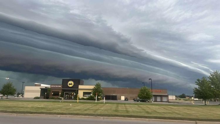
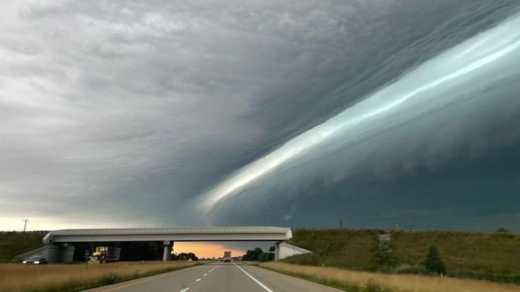
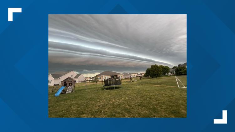
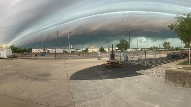
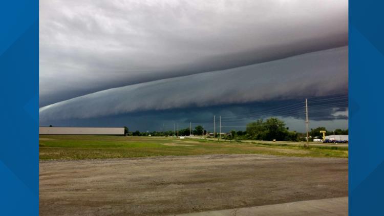
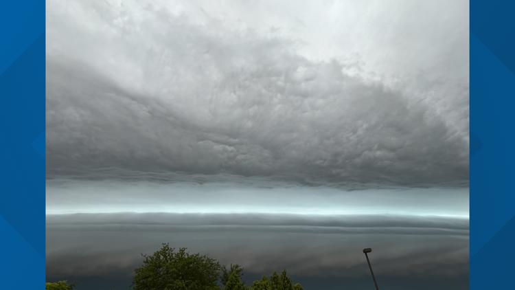
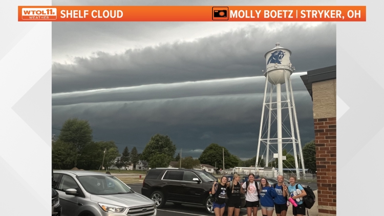
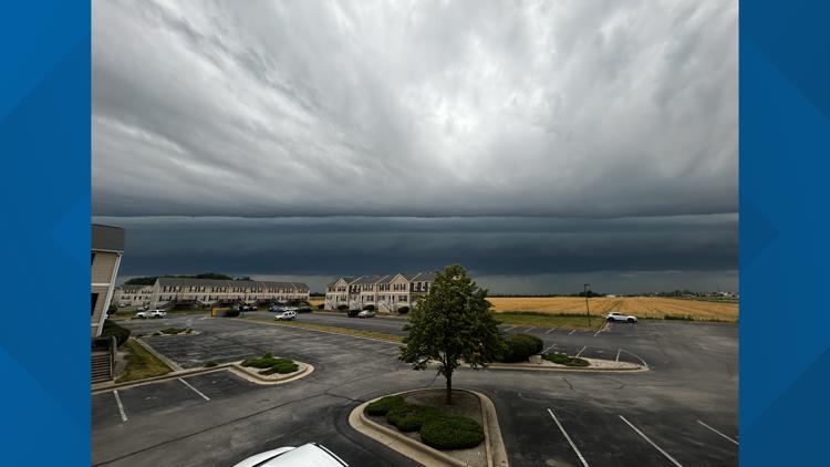
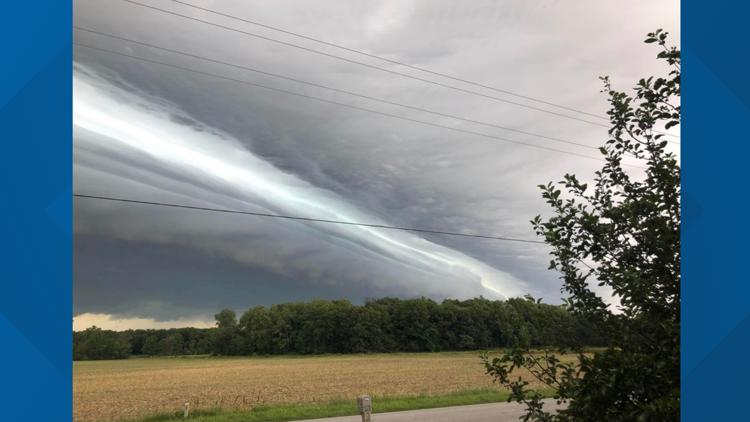
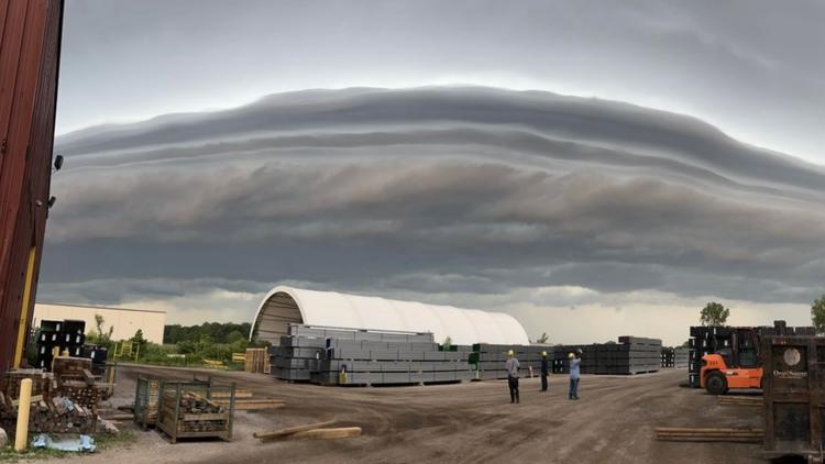
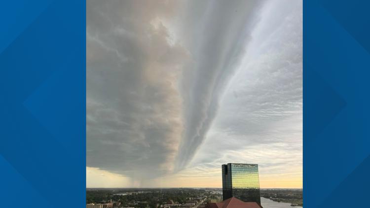
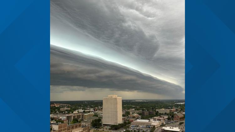
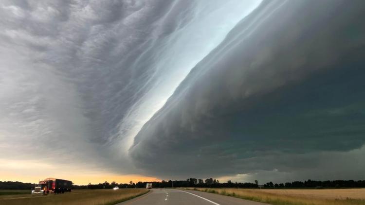
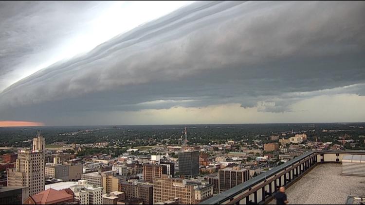
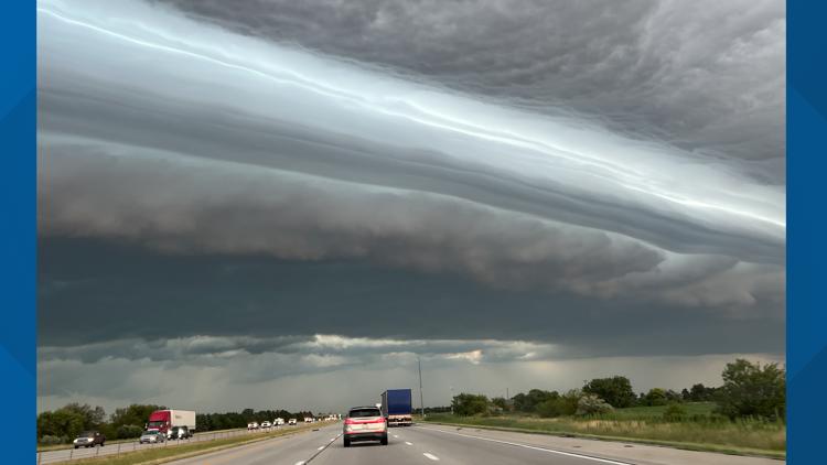
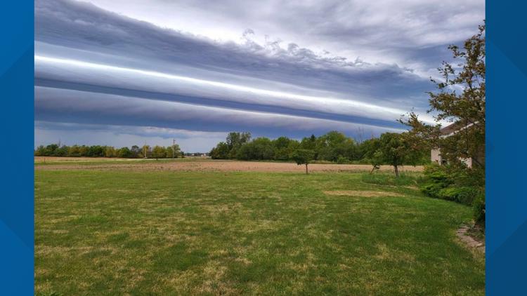
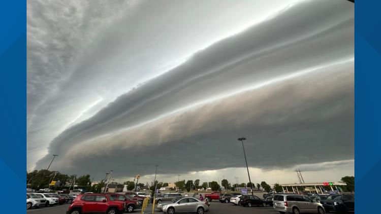
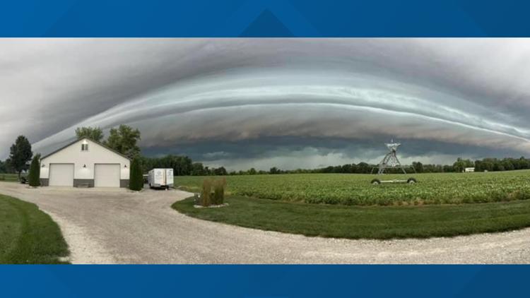
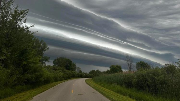
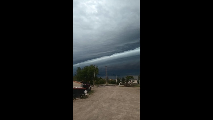
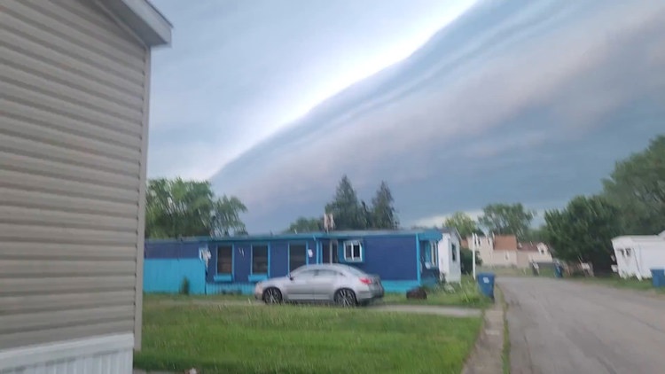
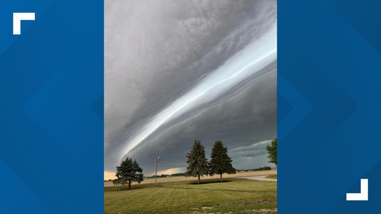
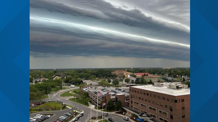
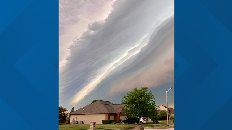
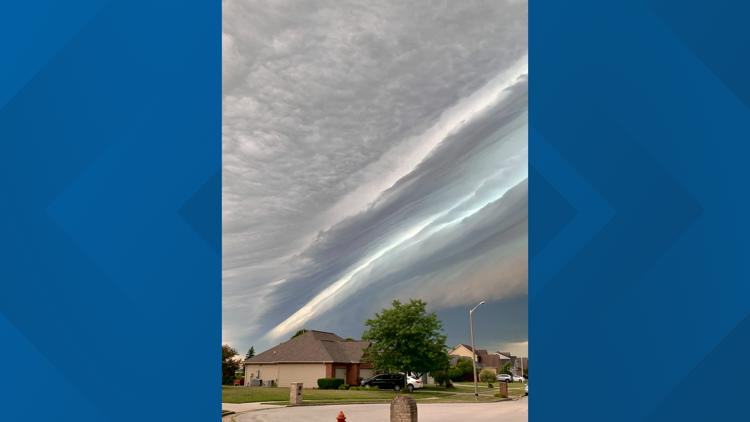
TOLEDO, Ohio — Tuesday morning brought a line of storms through southeast Michigan and northwest Ohio, including a particularly impressive meteorological sight: a shelf cloud. Viewers across the region sent in photos of the phenomenon, which are included in this story.
According to the National Weather Service, a shelf cloud is associated with squall lines and can bring severe, damaging winds. A shelf cloud is most easily identified by its horizontal shape, and is often large enough to cover the entire horizon, the agency said on their website.
When a shelf cloud passes over an area, it brings first wind, then rain. It can also bring brief, spin-up tornadoes, the NWS said, though those are often "rain-wrapped and short-lived."
A shelf cloud is sometimes mistaken for a wall cloud. According to the NWS, a wall cloud is more vertically-oriented and is typically much smaller than a shelf cloud. The rarer "roll cloud" are tube-shaped, horizontal clouds that are completely detached from the thunderstorm base, the NWS said, which makes them different from shelf clouds.
WEATHER HEADLINES: Storm spotter says village's outdoor warning sirens do not sound soon enough | Call 11 for Action
Included below is a timelapse of the shelf cloud as it passed over downtown Toledo Tuesday morning around 9:30 a.m.
WTOL 11 viewers from southeast Michigan and northwest Ohio sent in their photos of the cloud, which are included in the gallery below:
PHOTOS | Shelf cloud rolls through northwest Ohio during storm
Want more from WTOL 11?
➡️ Download the WTOL 11 news app for Apple here or get it in the Google store here.
➡️ Get a fresh start to your morning and wrap up your day with the latest news and your WTOL 11 Weather forecast delivered right to your inbox!
WTOL 11's Your Morning Blast and Your Evening Blast deliver stories from northwest Ohio, southeast Michigan and beyond to keep you informed.
Click here to get on the list!

