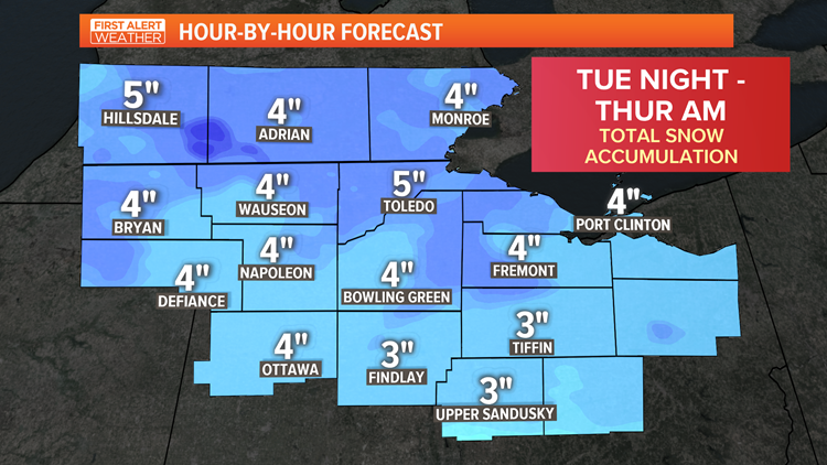
TOLEDO, Ohio — Winter 2020 will not go quietly with a first alert day in place for accumulating snow Tuesday night into Wednesday. This will be a two part system with rain switching to snow Tuesday night. Expect only up to around 1 inch of accumulation by Wednesday morning. The heavier, steadier snow will arrive during the daylight hours of Wednesday.
TUESDAY


By late Tuesday, enough cold air will push in to help change rain showers to a rain/snow mix. Temperatures still will be near or just above freezing so accumulations will likely be slow to develop or non-existent.
WEDNESDAY
By Wednesday morning light snowfall will be likely falling. Accumulations by daybreak will be 1" or less for many. The steadiest snow will fall during the daylight hours Wednesday.

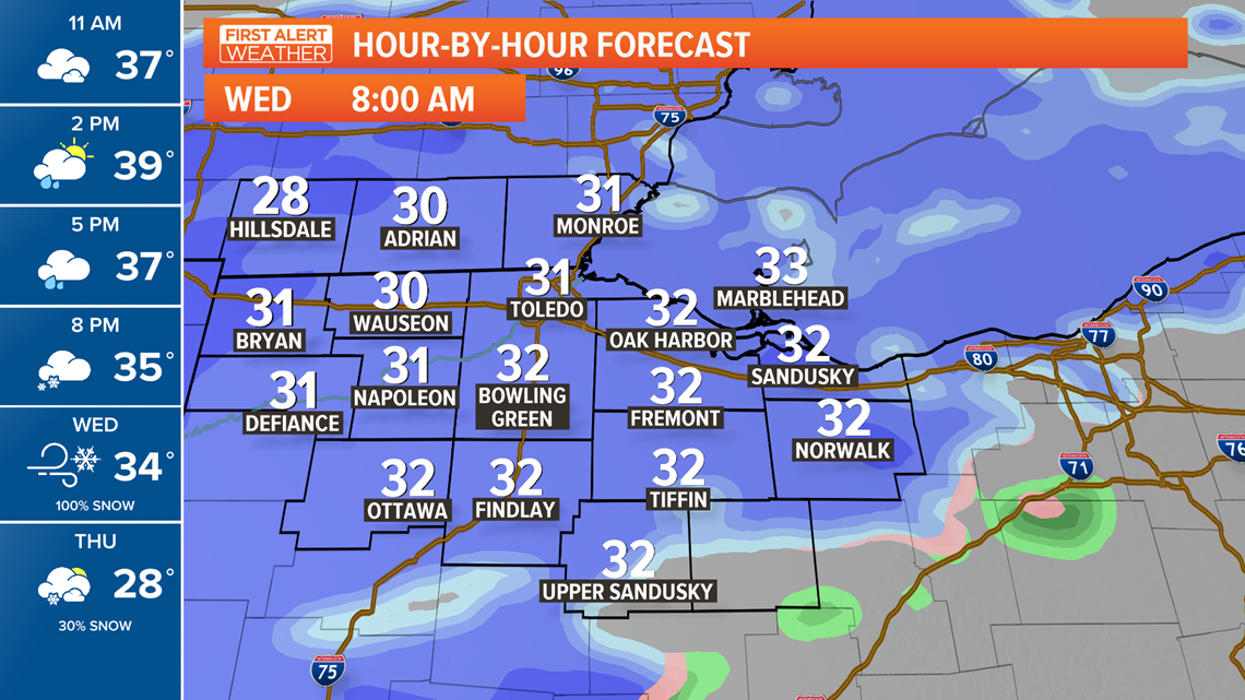
Some factors which could limit accumulations are that snow falling during daylight hours tends to melt due to sunlight filtering through the clouds and temperatures will be close to freezing.

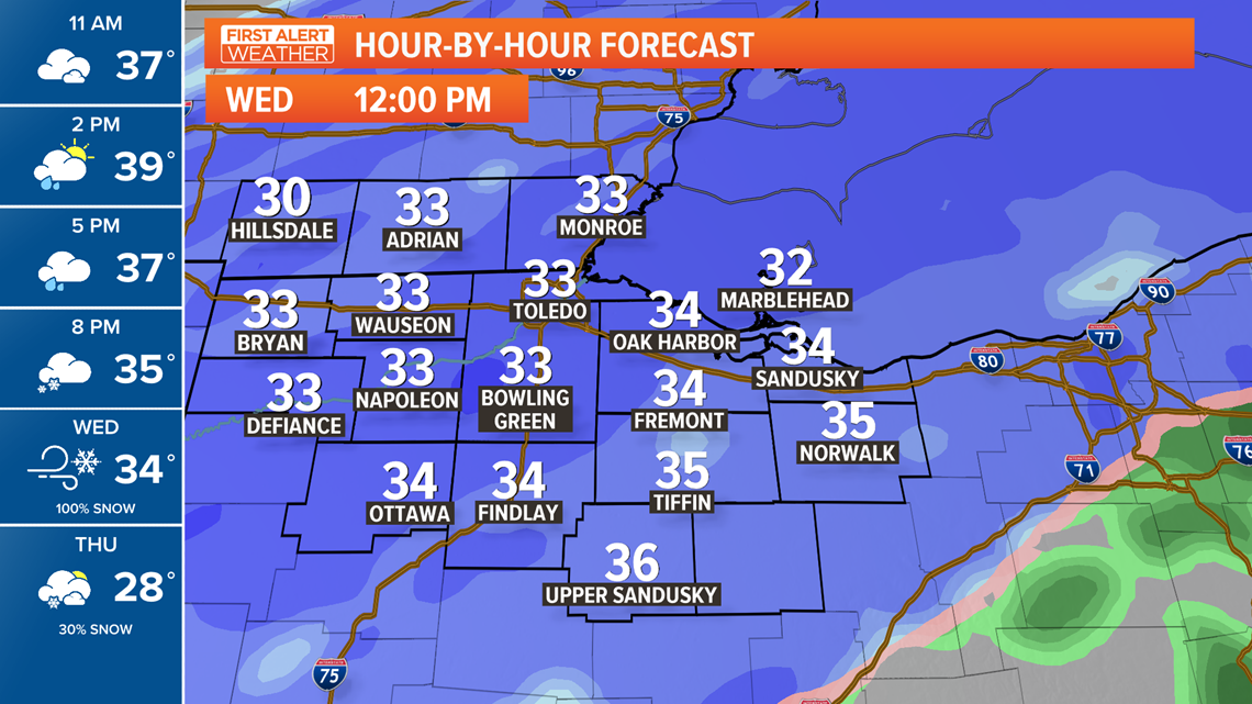
Steady snowfall will likely continue into Wednesday evening. Any lingering snow after sunset Wednesday will have a much better chance to stick quickly with snow already on the ground and fading daylight.

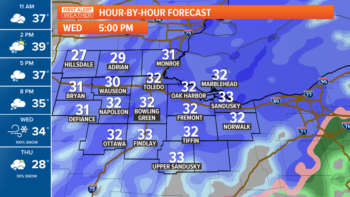
Accumulations will range 3-5" over the 24 hours of snow that falls with this system.


