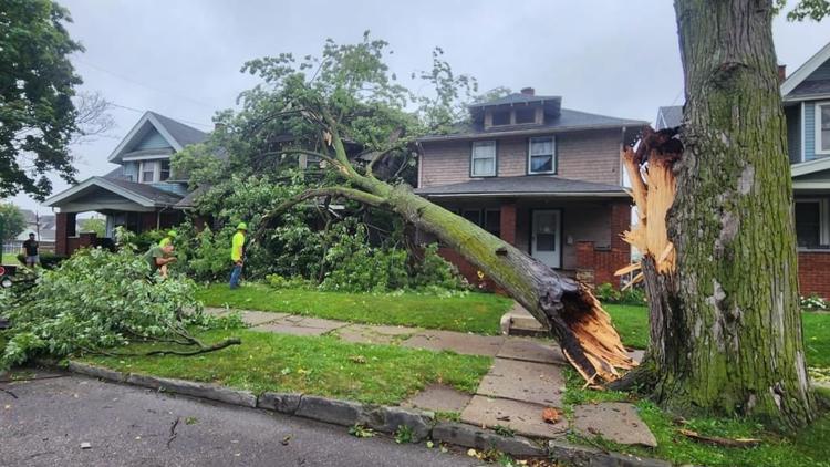
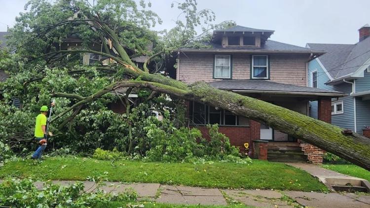
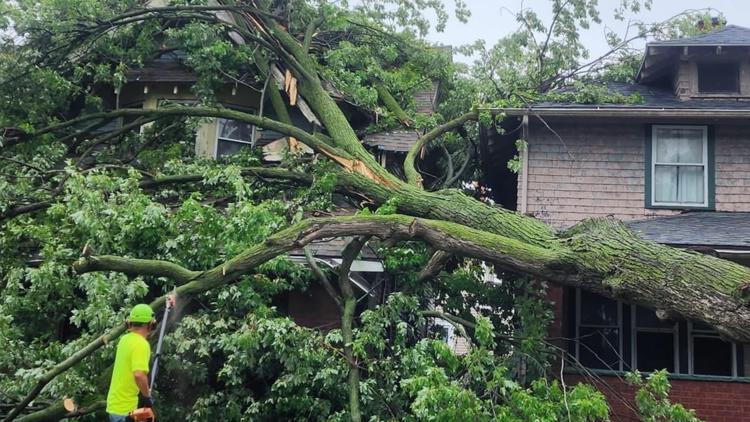
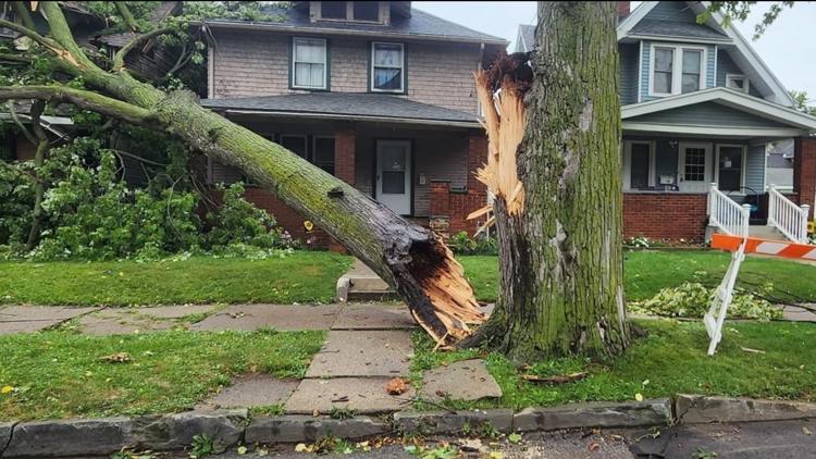
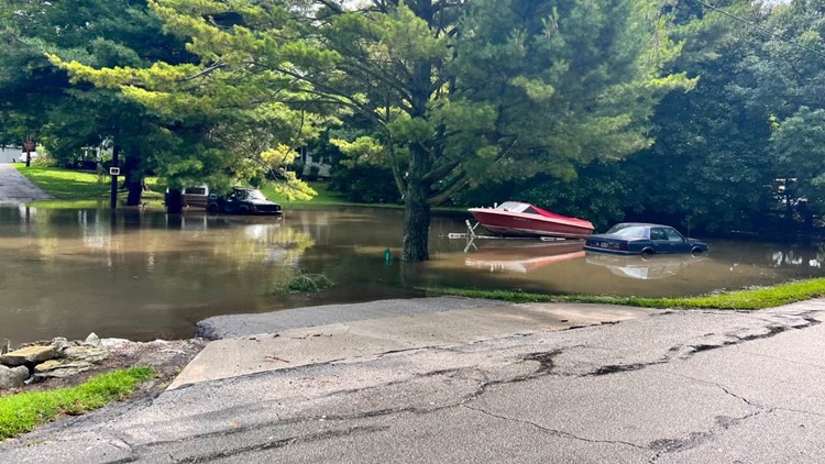
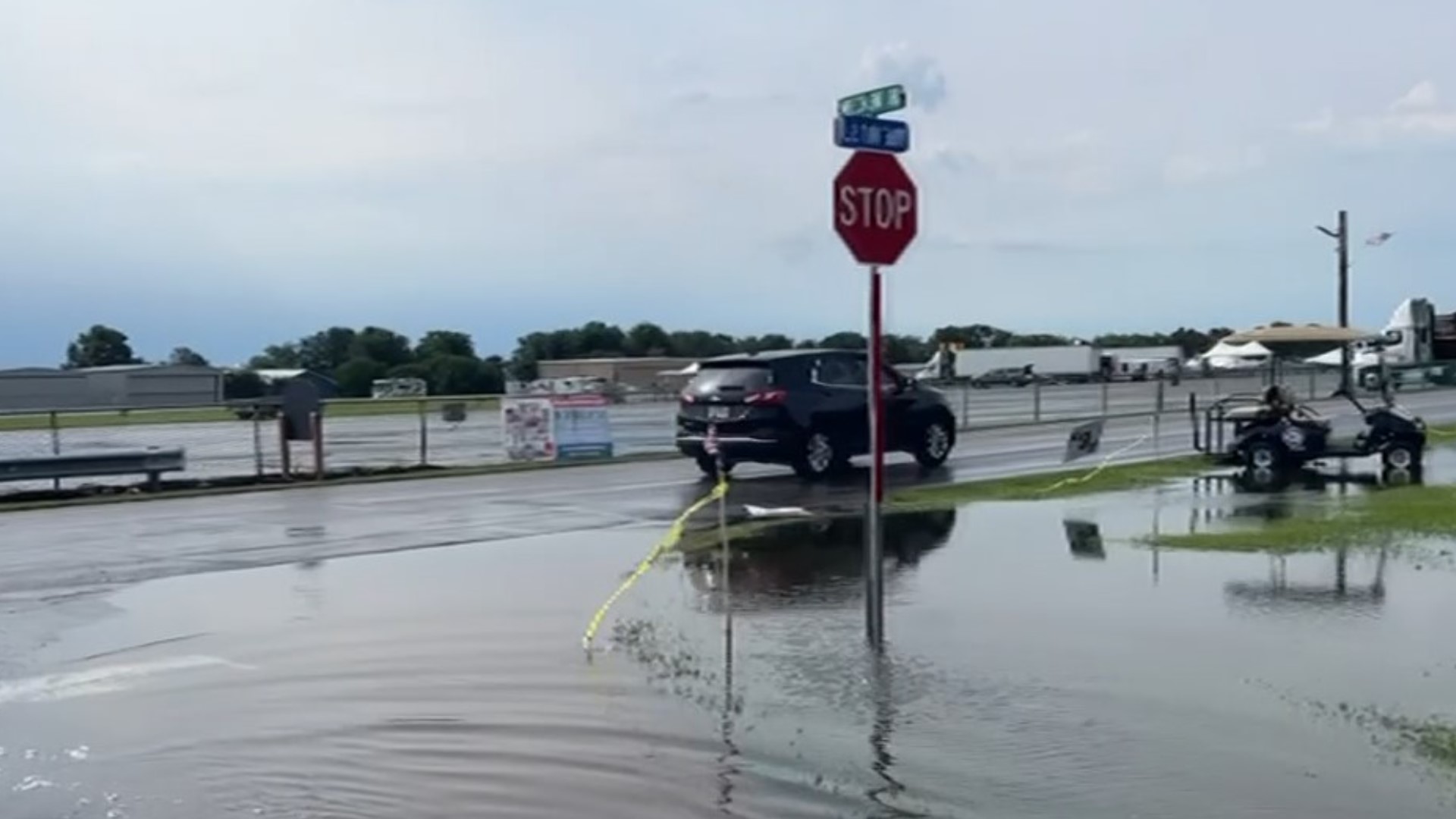
TOLEDO, Ohio — Heavy rain and downpours overnight and into Thursday morning caused all sorts of issues with high water levels on several streets, cars getting stuck in those waters and even power outages for thousands of northwest Ohio residents.
The WTOL 11 Weather Team issued an ALERT DAY on Thursday for extremely hot conditions with an estimated heat index to likely reach or exceed 105-110 degrees. Prior to this, the area was expected to get a brief, strong rainstorm.
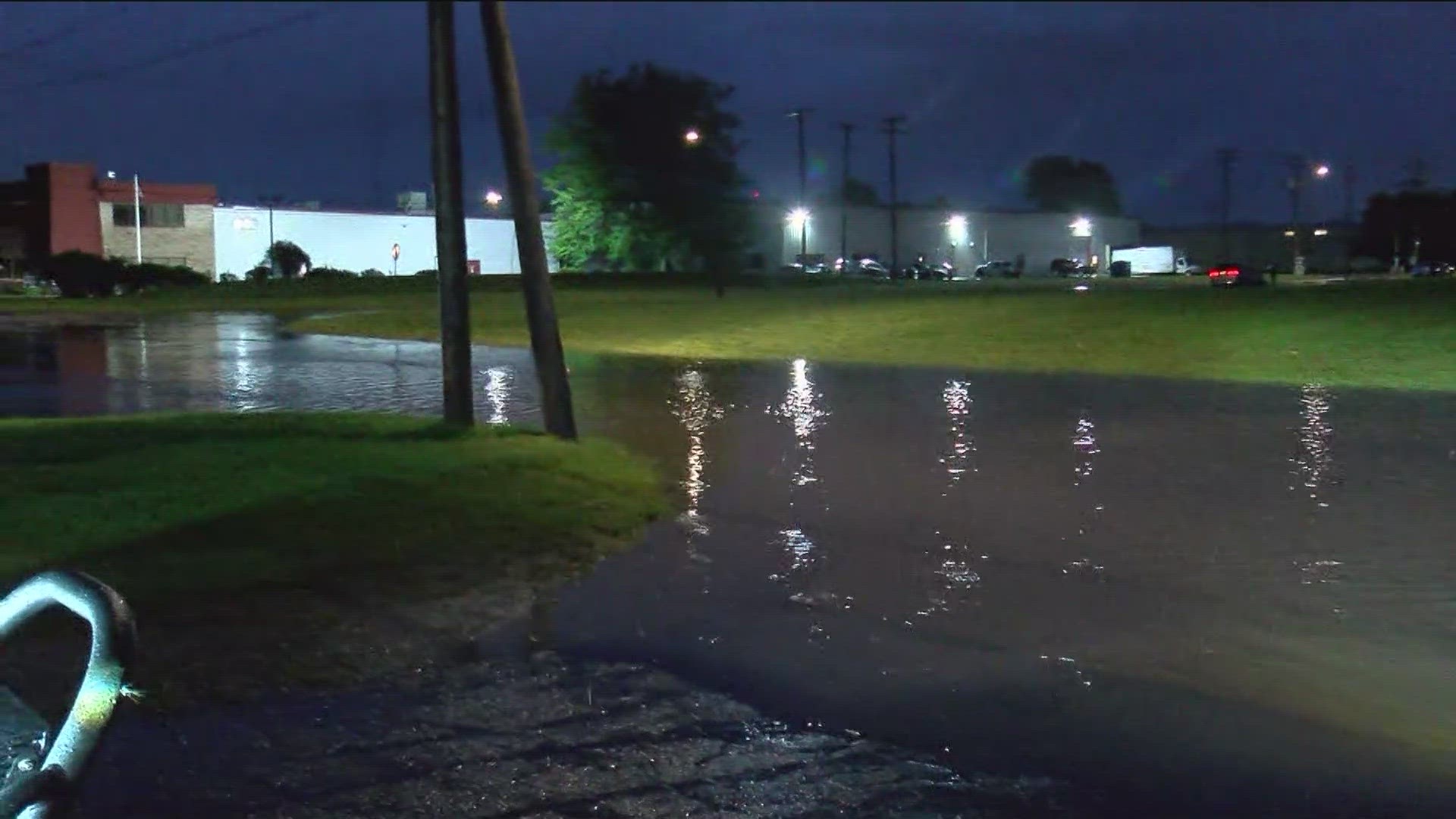
The WTOL 11 Defender Jeep was out in the middle of it all showing viewers exactly what conditions were like on some roads in Toledo.

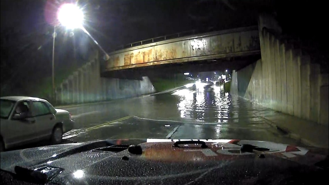
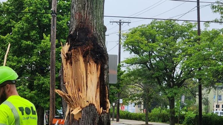
Multiple cars were seen stuck at the Dorr Street underpass east of Parkside Boulevard due to a transformer catching fire and down electrical wires, on W. Bancroft Street east of Parkside Boulevard.

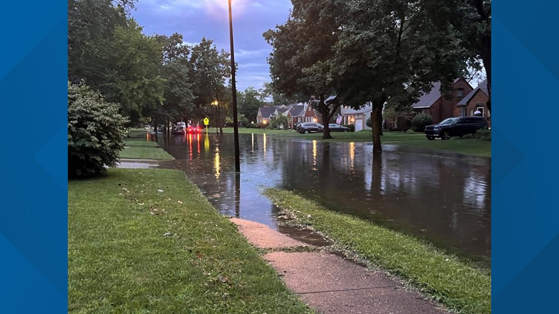
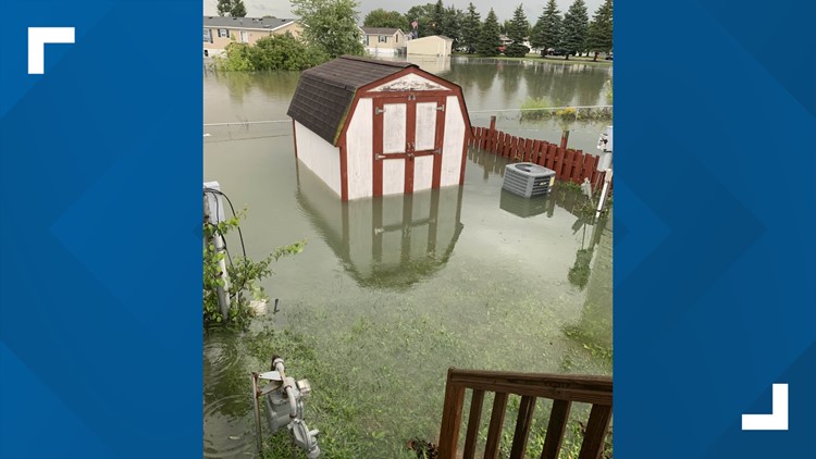
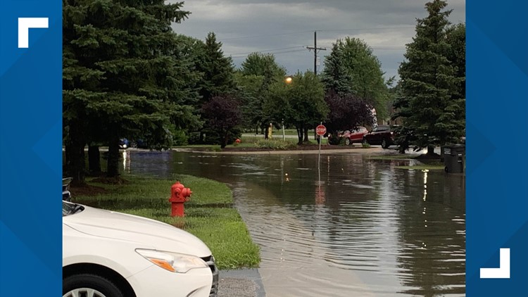
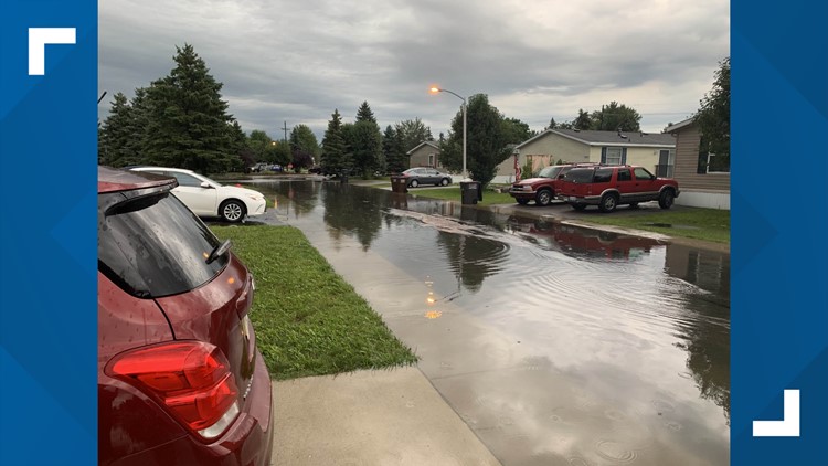
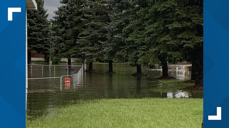
Several inches of standing water could be seen along curb lanes and in the roadways in several different locations.
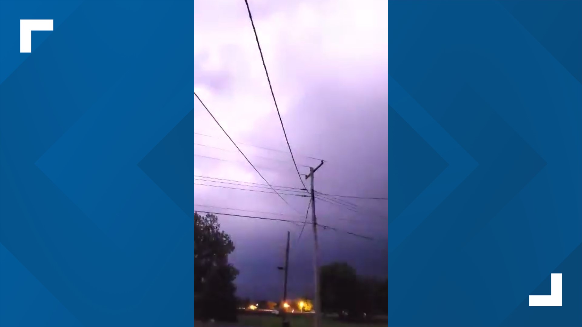
Lightning brightened up the sky as steady rain fell in Oak Harbor.
Residents in Port Clinton got some of the worst hitting rain overall, with an estimated 8.3" of rain landing at Put-In-Bay, 7.4" on Catawba Island and 6.4" on Kelleys Island.
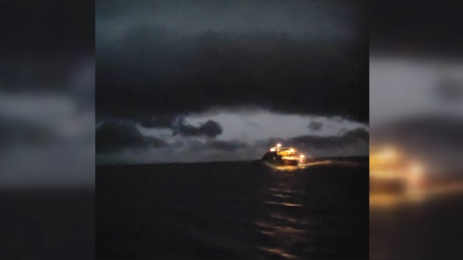
Video from viewer Floyd Anderson shows the aftermath of the storms at Put-in-Bay.
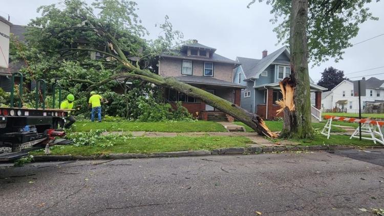
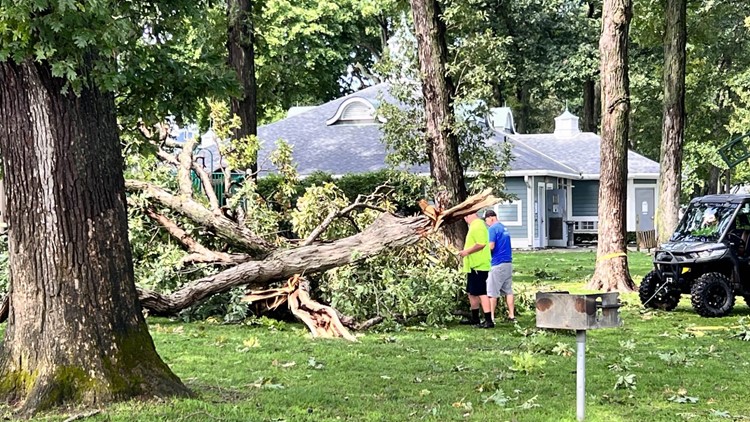
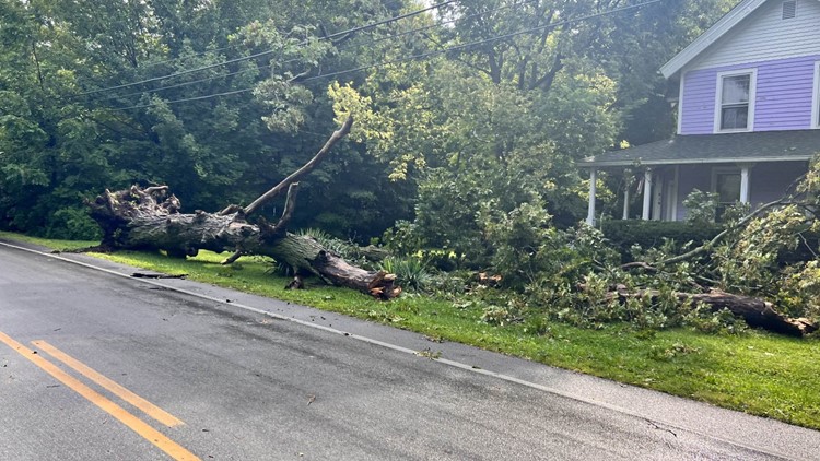
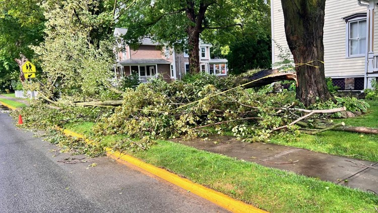
East Toledo storm damage
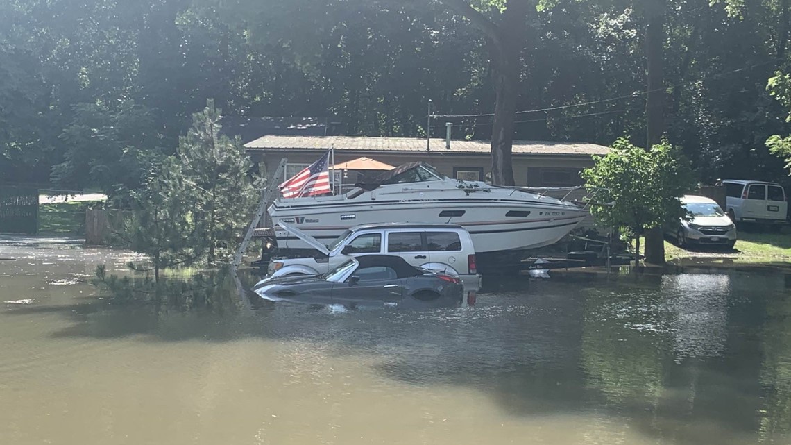
Flooding from storms in New Port, Michigan
Put-in-Bay flooding and storm damage

MORE LOCAL HEADLINES FROM WTOL 11:

