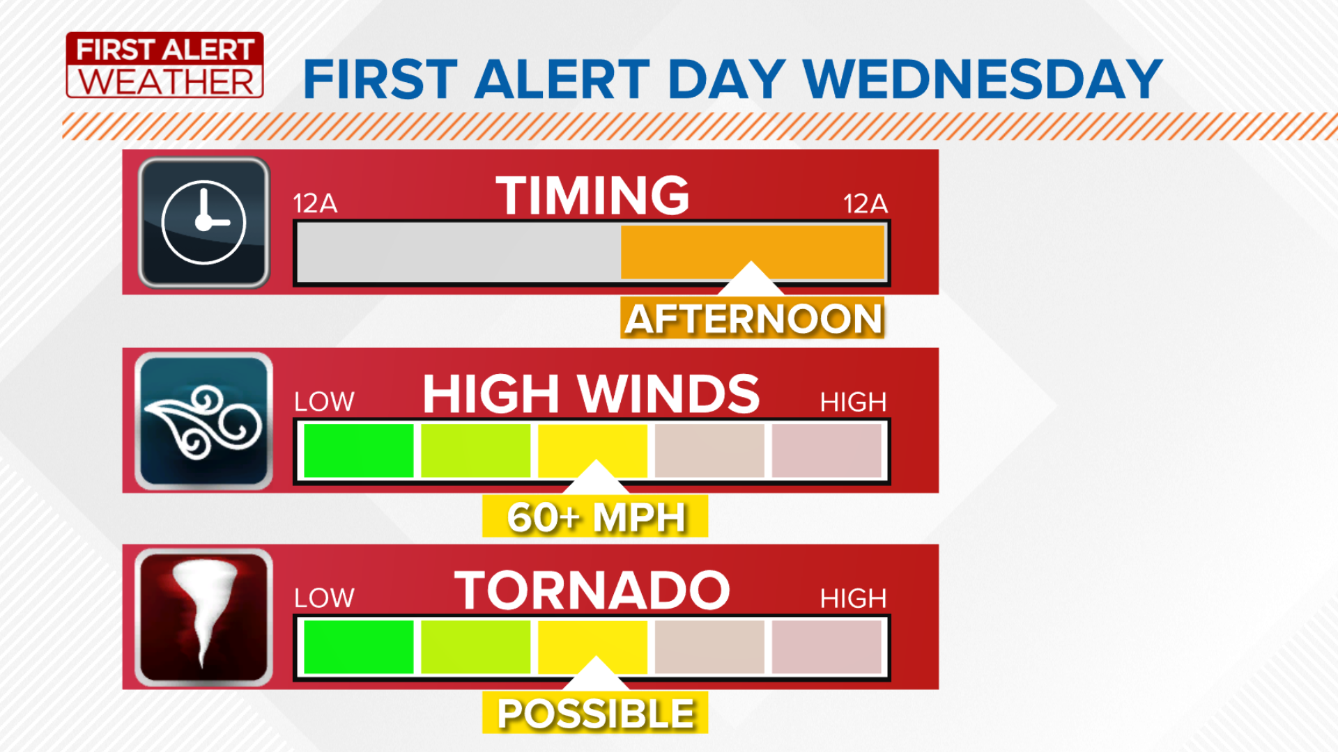
TOLEDO, Ohio — Wednesday is a First Alert Day for storms, some of which could be strong or severe. There is an increasing risk of storms with gusty winds, hail and possible isolated tornadoes with a line of strong storms in the afternoon. Widespread gusty winds will be expected over 40 mph, with higher gusts in thunderstorms.
Be prepared for every weather situation by downloading the First Alert Weather App for free. You can download to your mobile phone at this link: http://onelink.to/firstalertwx
Here are three things to know before the storms roll in Wednesday:
WHEN?
Timing: Wednesday morning looks dry, aside from some damp sidewalks from overnight rain. A few storms may develop in the early afternoon but the most likely timing for storms will be between 3-9 p.m. Storms will be moving near 50 mph and once the cold front moves through during the evening the threat for rain will end.
HOW BAD?
Threats: Storms on Wednesday will be strong to severe weather strong gusty winds and tornadoes possible. The threat for tornadoes is higher than normal due to the interaction of the remnant tropical storm and the jet stream. This interaction will allow storms to rotate.
WHAT'S NEXT?
What follows: This storm system will pull down so much cooler air for the rest of the week. Highs will be in the 70s or 80s for the better part of the next week with lower humidity.

